
PERSONAL PORTFOLIO TORONTO, CANADA

ENVIRONMENTAL STUDIES · GIS · TECHNOLOGY
Environmental research.
Geospatial analysis.
I am Qaiyum Mohammad, a Wilfrid Laurier University Environmental Studies graduate. My academic work includes municipal policy analysis, GIS, field surveying, GNSS and remote sensing. I use research and technical methods to examine environmental and planning questions.
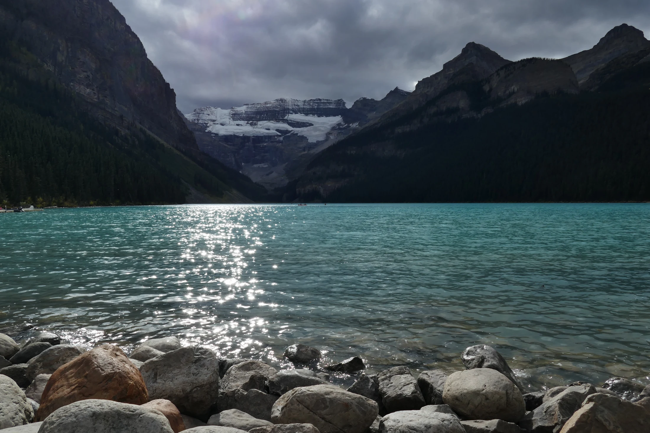
PHOTOGRAPHED BY QAIYUM
SELECTED WORK / 01
Selected projects.
University research, field exercises and geospatial projects, with an emphasis on methods, analysis and documented outputs.
MUNICIPAL RESEARCH · TEAM CAPSTONE
Rental housing protection in Cambridge
Comparative municipal policy research, a resident survey and implementation cost analysis for a City of Cambridge capstone.
Read the projectRPAS · REMOTE SENSING
Comparing drone mapping outputs
Orthomosaics, LiDAR-derived terrain products, and positional accuracy across three mapping platforms.
Read the projectARCGIS PRO · SPATIAL ANALYSIS
Terrain, elevation & interpolation
ArcGIS Pro coursework using raster surfaces, IDW and Kriging interpolation, contours and elevation profiles.
Read the projectThe graphics above are design illustrations, not measured project maps.
TECHNICAL BACKGROUND / 02
Research, field methods and technology.
My training combines environmental policy and physical geography with applied GIS, surveying and remote-sensing coursework. I also have a long-standing background in computers and technical troubleshooting.
See my technical backgroundEnvironmental research & policy
Comparative policy research, land-use planning, sustainability and environmental impact assessment coursework.
Geospatial tools
ArcGIS Pro, surveying, GNSS/RTK, photogrammetry, LiDAR data and terrain products.
Fieldwork & documentation
Field observations, coordinate and elevation measurements, QA/QC, field notes and technical reporting.

CONTACT